Geospatial Queries in Census Explorer
April 24, 2023
For city planners studying transportation projects or business owners choosing new locations, analyzing data over travel routes or within a drive-time radius is crucial, but requires knowledge of routing engines and a geospatial analytics library like PostGIS or Shapely. Even for experienced data scientists, it's a labor-intensive process. To make it easier, Census Explorer now supports analytics along routes or within areas defined by a drive-time radius. This feature allows users to ask questions about Census Bureau data along the route between two cities, adjacent to a freeway, or within a specified drive time of a location.
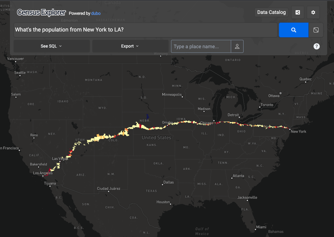
For example, ask for the population between New York and LA.

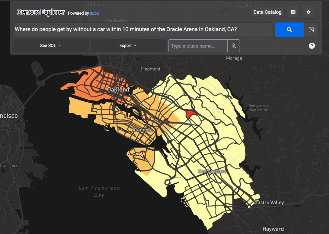
Search for car ownership in neighborhoods around a sports stadium.

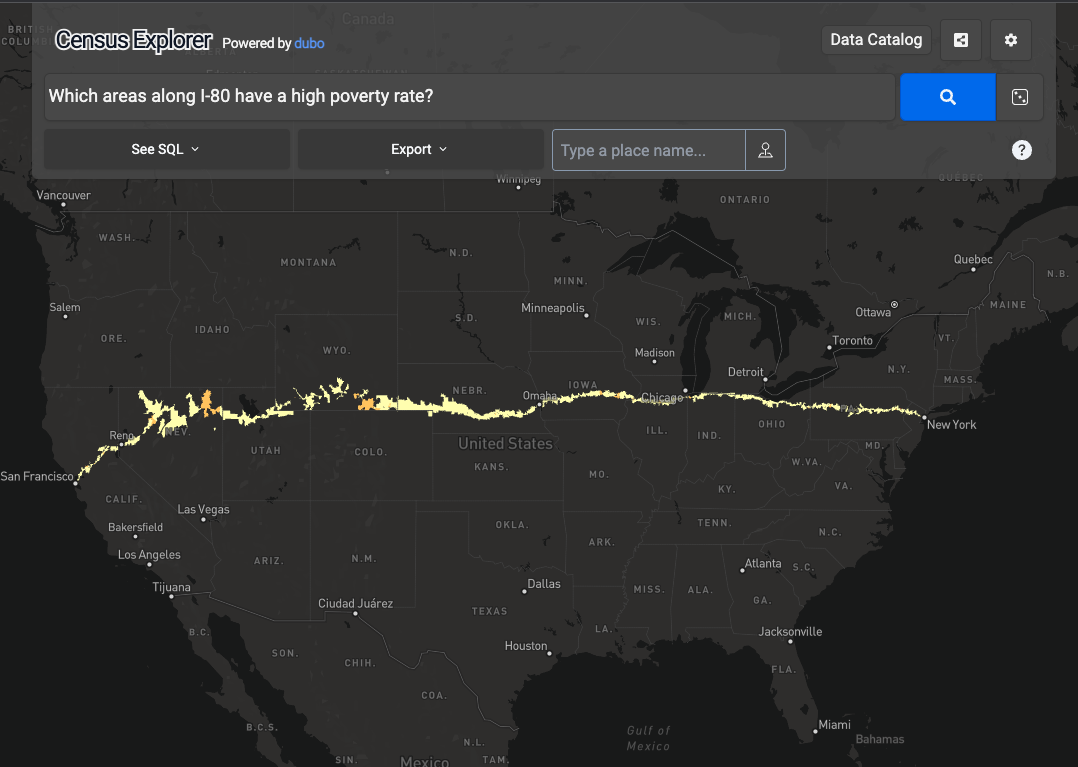
We can also calculate Census statistics along roads, like the poverty rate along I-80.

